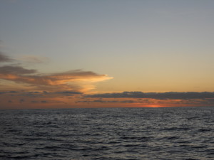
THE OCEAN IS FAR AND WIDE AND STILL MANY MILES TO GO
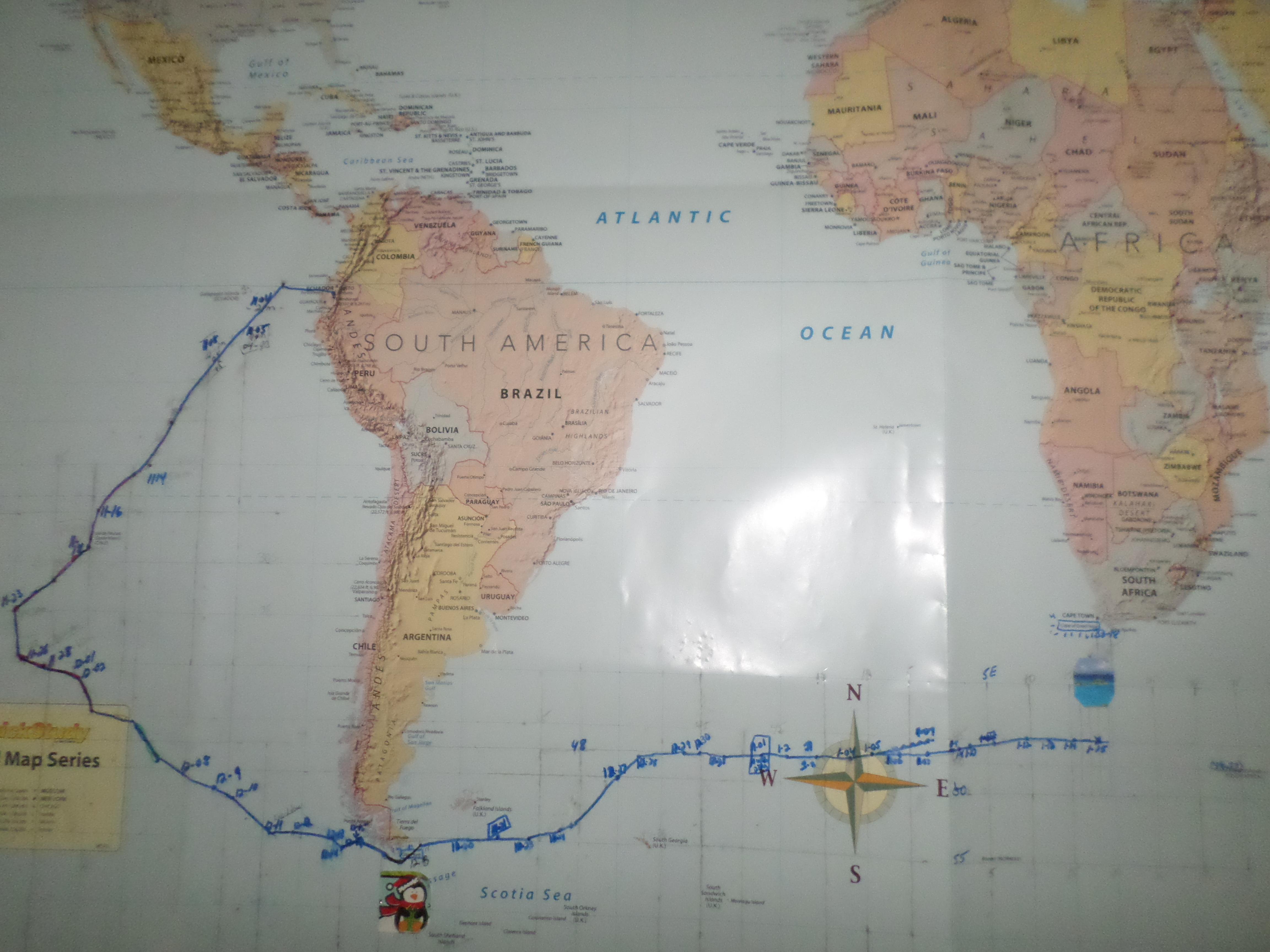
Total miles sailed so far= 11,950 NM
Miles sailed last three days 364 NM.
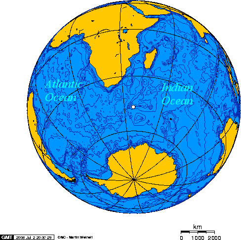
Miles left to go to cape Leeuwin, Australia=2220 NM.
Top Speed so far=12.3 knots
THE REST OF THE STORY:
DAY 88.
24hr.Run 111 NM.
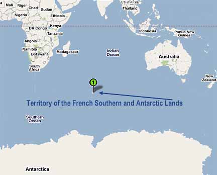
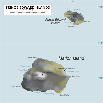
Position Latitude 45*50’S. Longitude 53*52’E.
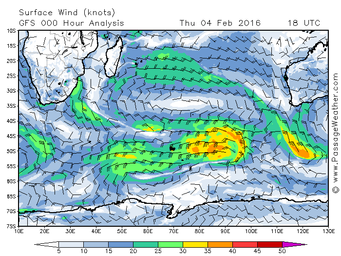
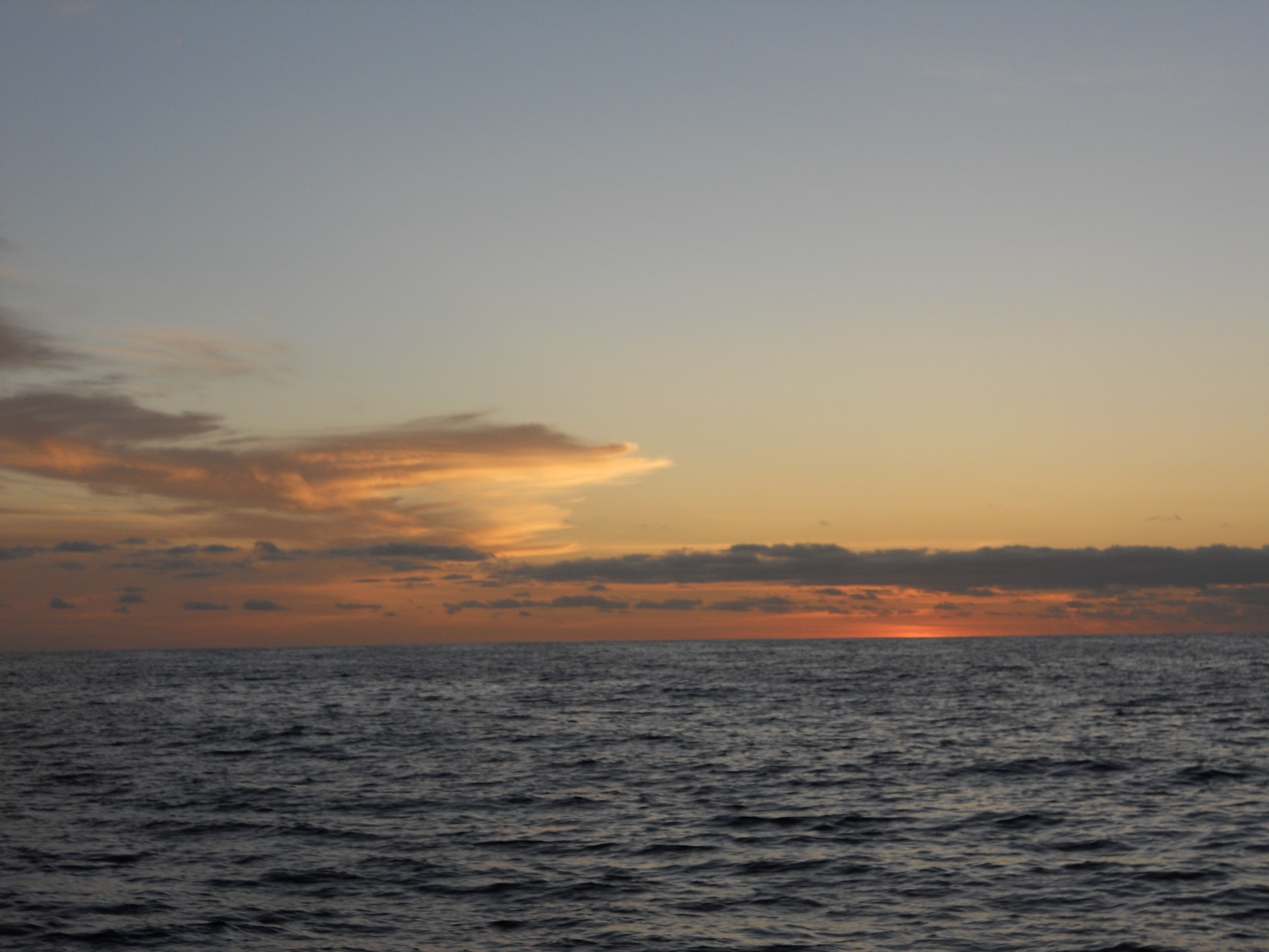
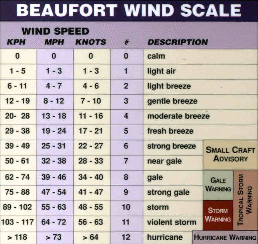
Weather: Wind SW 8-30 knots N Seas: SW 8-15 feet
Cabin Temp 46*50* Bar: 1022mb
Today was a busy and, mysterious day
After breakfast I looked into a problem I was having getting the auto pilot to engage.
Now of course that evolves pulling lots of gear out to get at it, including the 60lb. CQR anchor.
The fix was easy as the Morse cable had slipped where it was clamped down, and just needed adjustment and tightening.
It is very important to have a back up to the wind vane, like when you must work on wind vane and there is nobody to steer, could be a big problem.
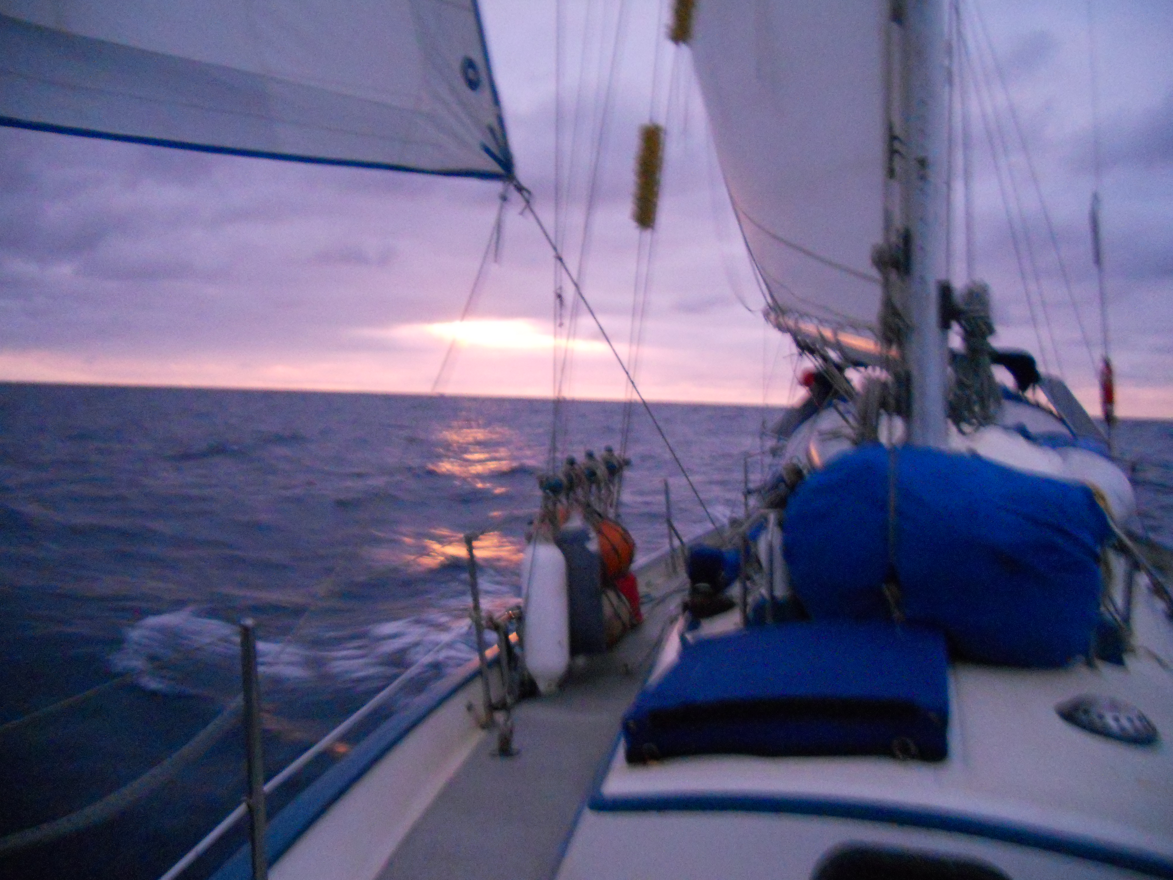
The high is moving over us and the winds are going light, so I roll out “Patches” the Genoa and see another rip in it!!
I pull it off the furler and look it over on deck, finding Three total rips requiring patches. Fortunately, today the winds are light. The seas down and the sun is out.
Things got mysterious as I was sewing on the last patch, suddenly I started hearing what sounded like muffled explosions, and rumbling that went on continuously for several minutes.
I scanned the horizon looking for thunder clouds but there was only blue sky, then I searched the sky for a jet-plane nothing, then the sea for a boat, still nothing. My mind tells me that it was either a volcanic eruption under the sea, although I saw no steam, or possibly an earthquake. The truth is I don’t know what it was.
Now getting back to the Genoa “Patches” I even have composed a song for it and it goes like this;
Patches oh, what should I do?
I swear I’ll always fix you,
Though it may not be right,
I’m coming for you tonight,
Patches, I’ll always need you.
[See you can go “nuts” out here.]
DAY 89.
24hr.Run 122 NM.
Position: Latitude 46*02’S. Longitude 56*31’E.
Weather: Wind N. 6-12 knots Seas: N. 6-8 feet
Cabin Temp: 48*53*. Bar: 1018mb
Today we sailed in light air that started slowly building over night from the north.
I can’t begin to tell you, how confusing it is when it gets light about 20-minutes earlier every day, and then you are on a Bahia time schedule, it just seems really strange to wake up in the morning when it gets light and realize it’s now 9pm.
The food supplies are holding up well with the exception of the Coke 0=0 now, and there are but 6-onions left, and one apple.
I have tons of food in cans etc. but messed up by not buying a lot of popcorn as I love it and was afraid I might break a tooth eating it. Oh well next time more popcorn.
I hope now to keep radio communication the rest of the way. It is very important, not only to feel connected, but my weather comes to me through Sailmail.
I want to invite all of you and any of your friends that want to travel along on this adventure, to check out our blog site at WWW.SAILORSRUN.COM
Debbie has been posting not only this adventure there but also photos of us living the cruising life style over the past 17-years, so enjoy!
DAY 90
24hr, Run 131NM.
Position: Latitude 47*12’S Longitude 59*12’E.
Weather: Wind N. 12-40 knots, Gusting 50 knots. Seas:15-20 feet NW.
Cabin Temp:49*-56* Bar: 1000 mb
Stronger north winds to 40+ knots are coming today and will be on our beam
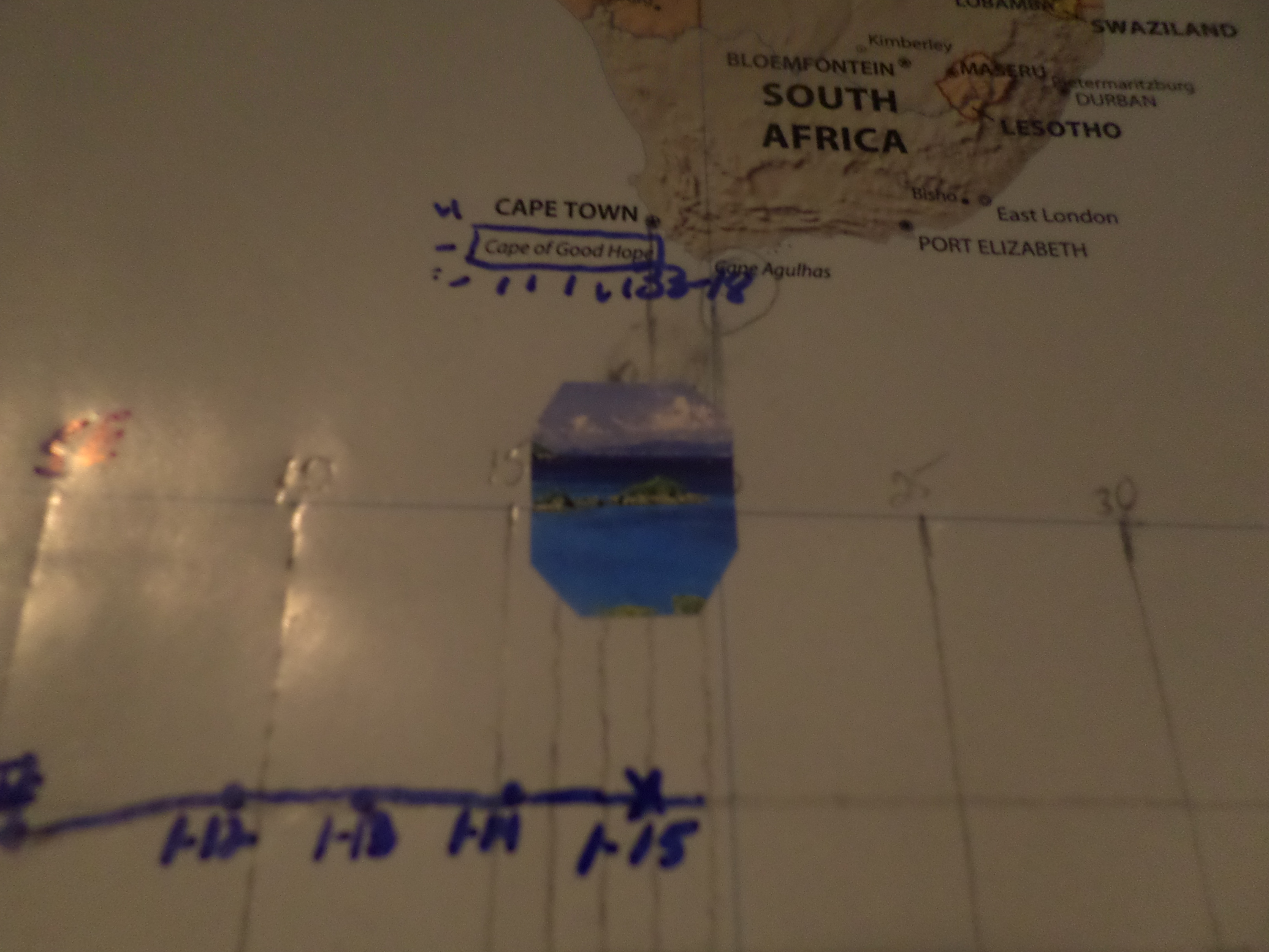
I want to thank the “gang” at Latitude38*.com for coming along on this voyage and keeping the readers up-dated as to our progress through, that Great Magazine out of San Francisco, California
It’s funny how things work out, like the effects of the failure of the wind generator was cancelled out by the failure of the refrigeration, so maybe two wrongs can make it right.
The three solar panels more than keep up with all our other electrical needs, like, Radar A.I.S., electric auto pilot when needed, lights, vhf radio, single side radio, computers etc.
I have been impressed how well they have done especially the two solar panels that are hung on the one- inch life line rail on either side.
Twice they have been knocked loose of one of their supporting legs but I merely had to put the stainless steel leg back in the socket mounted on the cap rail and tighten the Allen screw that attempts to keep them in place.
Last night like always, I looked forward to crawling into my berth and getting some rest, one of my favorite times of the day.
I had been asleep for about 15-minutes when I smelled something burning. I opened my eyes and the cabin was pitch black, that being strange as normally the A.I.S. illuminates it with a soft light.
I jumped out of my berth and turned on the light. The entire cabin was filled with smoke as we had an electrical fire.
Fortunately, I smelled it when I did as the air was awful, that I had been breathing. I opened up the hatch and aired out the cabin all the time coughing my lungs out.
Luckily the breaker had tripped and there was no ongoing fire. In the darkness I was able to close the breaker back in and seen where the wire was shorted out.
As it turned out this was a 12 volt wire that we no longer used and for some reason the connection on the end of it had shorted out, melting it down to where I could not even recognize where it might go.
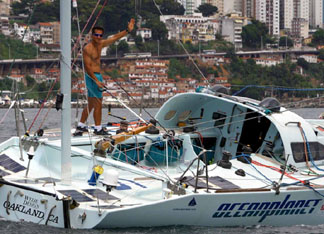
Sucking up some fresher air in the Southern Ocean, the Jefe’
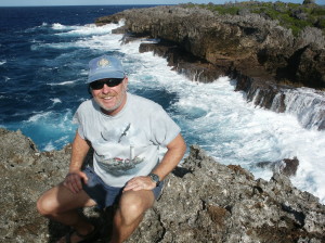
THE CAPTAIN BY HIS FAVORITE PLACE “THE WATER”
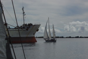
AHH THE SAILORS RUN CRUISING ALONG IN A FOREIGN LAND YRS AGO